|
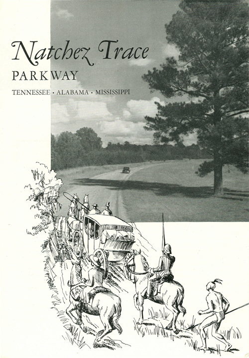
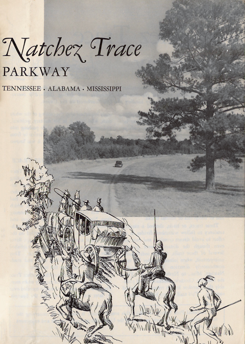
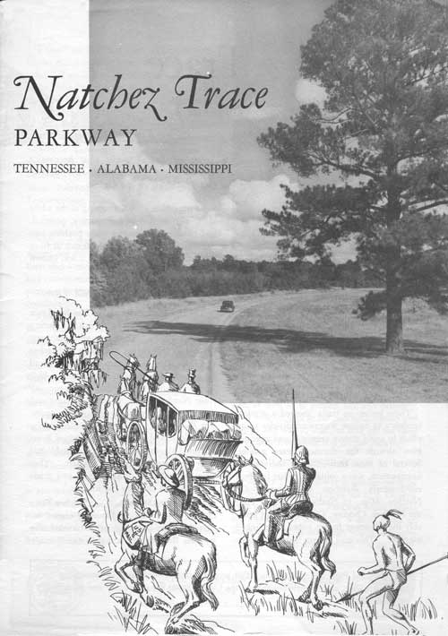
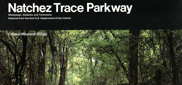
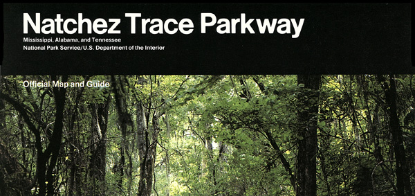
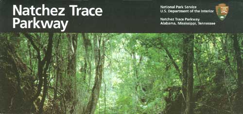
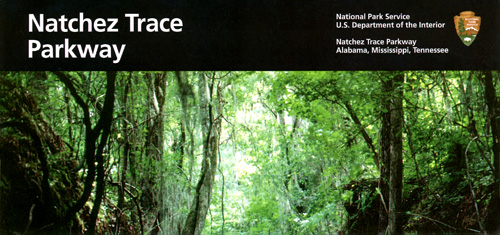
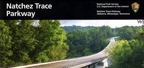
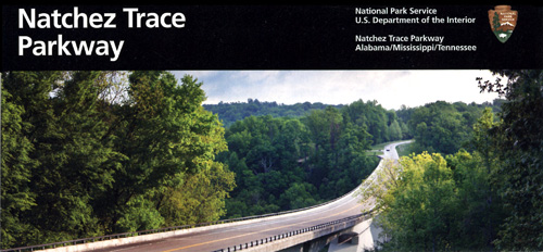
Natchez Trace Parkway Alabama-Mississippi-Tennessee |
|
 NPS photo | |
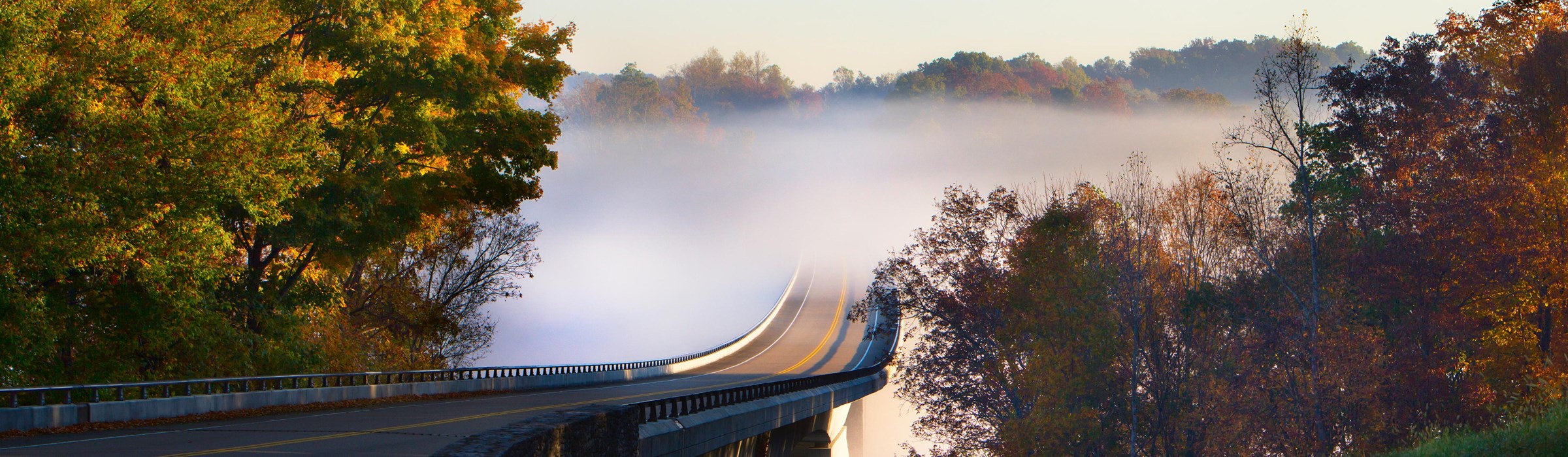
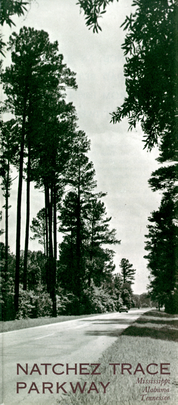
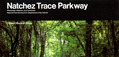
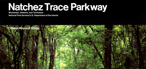
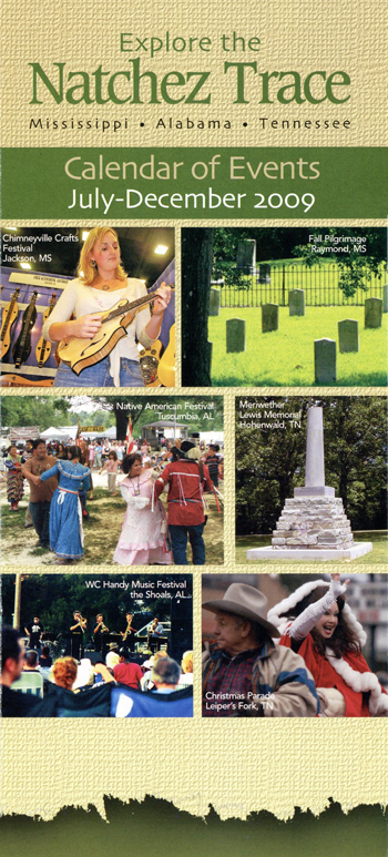
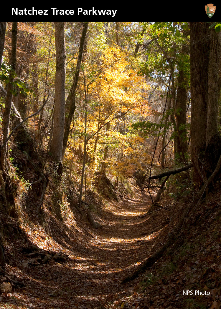
Along the Natchez Trace Parkway, stories of the Old Southwest await discovery on a streamside trail, in a historic stand, or just around a bend in the road.
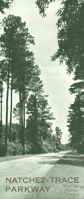
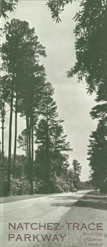
The Natchez Trace Parkway leads you 444 miles through three states and 10,000 years of history. Established as a unit of the National Park System in 1938 and officially completed in 2005, the Parkway commemorates the most significant highway of the Old Southwest.
The natural travel corridor that became the Natchez Trace dates back many centuries. It bisected the traditional homelands of the Natchez, Chickasaw, and Choctaw nations. As the United States expanded westward in the late 1700s and early 1800s, growing numbers of travelers tramped the rough trail into a clearly marked path. Where the ground was relatively soft, walkers, riders, and wagons wore down the "sunken" sections you see today. In 1801 President Thomas Jefferson designated the Trace a national post road for mail delivery between Nashville and Natchez.
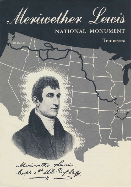
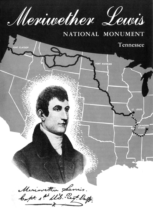
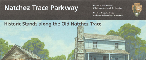
Gen. Andrew Jackson, Meriwether Lewis (who died on the Trace in 1809), John James Audubon, Jefferson Davis, and Ulysses S. Grant are some of the famous Americans to have traveled the Natchez Trace. Most travelers, though, were anonymous working folks. In the early 1800s through the mid-1820s, "Kaintucks" from the Ohio River Valley floated cash crops, livestock, and other materials down the Mississippi River on wooden flatboats. At Natchez or New Orleans, they sold their goods, sold their boats for lumber, and walked or rode horseback toward home via the Old Trace. As the road was improved, stands (inns) provided lodging, food, and drink to Trace travelers.
Today the Natchez Trace Parkway creates a greenway from the southern Appalachian foothills of Tennessee to the bluffs of the lower Mississippi River. Along the way are sites like Emerald Mound, a national historic landmark and one of the largest American Indian mounds in the United States, and Mount Locust, one of only two surviving stands from the old traveling days.
The Trace also crosses four distinct ecosystems and eight major watersheds. It is habitat for nearly 1,500 species of plants, 33 mammal species, 134 bird species, and 70 species of reptiles and amphibians. Also designated a National Scenic Byway and All-American Road, the Parkway is the ideal route for modern travelers to experience historic and scenic landscapes at a leisurely pace.
PARKWAY HIGHLIGHTS IN TENNESSEE AND ALABAMA — MP 444.0-308.9
Roll with the ups and downs of hill country, cross the Double Arch Bridge, visit the grave of Meriwether Lewis.
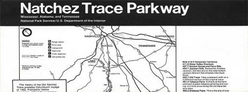
Mileposts are on the parkway's east side. The milepost numbering system begins at the southern terminus in Natchez, MS, milepost 0. The northern terminus, milepost 444, is near Nashville, TN. Points of interest and visitor services are noted below to the nearest tenth of a mile. On the map mileposts are noted every five miles and labeled in pink every 10 miles. Some side roads are not accessible to RVs or low-clearance vehicles. "NST" denotes a trailhead for the Natchez Trace National Scenic Trail. "Don't Miss" sites are highlighted with this * symbol.
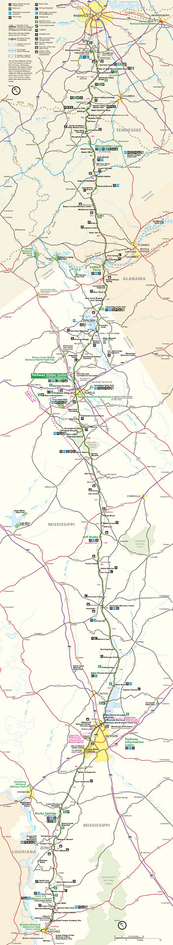 (click for larger map) |
444.0 Northern Terminus At TN Hwy. 100.
*438.0 Birdsong Hollow This Double Arch Bridge over TN Hwy. 96 won the 1995 Presidential Award for Design Excellence.
427.6 Garrison Creek Named for a nearby 1801-02 US Army post. Picnic area, NST.
426.3 War of 1812 Memorial/Old Trace During this war, soldiers marched to and from battle along the Old Natchez Trace. NST.
425.4 Burns Branch Picnic area, NST.
423.9 Tennessee Valley Divide 1796 boundary between new state of Tennessee and Chickasaw Nation to south. NST
411.8 Water Valley Overlook Scenic view.
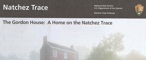
*407.7 Gordon House Historic Site Site of early 1800s trading post and ferry. Gordon family home dates from 1818.
405.1 Baker Bluff Overlook Scenic view.
*404.7 Jackson Falls Steep trail to falls.
403.7 Old Trace 2,000-foot section.
*401.4 Tobacco Farm/Old Trace Drive Exhibits on tobacco growing. One-way, two-mile drive along Old Trace begins here; no RVs on drive.
400.2 Sheboss Place A stand (inn for travelers) operated nearby in the 1800s.
397.4 Old Trace Boundary of Chickasaw lands ceded to US in 1805 and 1816.
394 Devil's Backbone State Natural Area No RVs.
392.5 Swan View Overlook Scenic view.
*391.9 Fall Hollow Short walk to falls.
390.7 Phosphate Mine Short walk by a historic phosphate mining site.
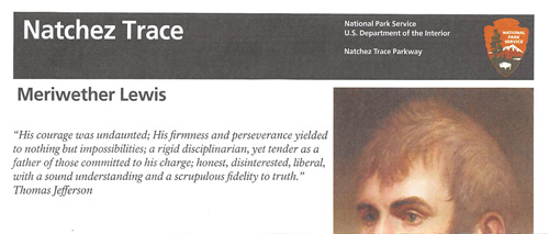
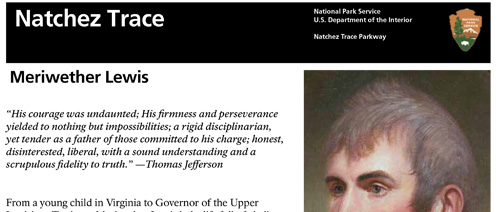
*385.9 Meriwether Lewis Gravesite of explorer Meriwether Lewis, who died here in 1809. Campground, hiking trails, exhibits, picnic area, restrooms.
382.8 Metal Ford Old Trace crossing for Buffalo River. Short trail.
381.8 Napier Mine Historic iron mine.
377.8 Jacks Branch Picnic area, restrooms.
*375.8 Old Trace Drive One-way, 2.5-mile drive along Old Trace begins here. No RVs.
367.3 Dogwood Mudhole This mudhole on the Old Trace (a mile to the south) was impassable to wagons after heavy rain.
364.5 Glenrock Branch Picnic area, restrooms.
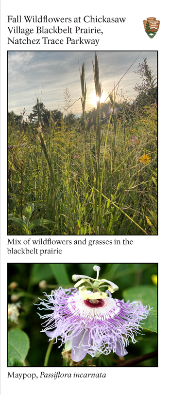
363.0 Sweetwater Branch 20-minute walk along stream; seasonal wildflowers.
352.9 McGlamery Stand Site of historic stand from the mid-1800s.
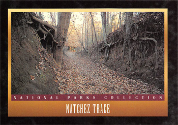
350.5 Sunken Trace Shows how Trace was rerouted to bypass mudholes.
346.2 Holly Picnic area.
343.5 Cypress Creek Picnic area.
341.8 Tennessee-Alabama state line.
*330.2 Rock Spring 20-minute walk along Colbert Creek. Seasonal wildflowers.
328.7 Lauderdale Picnic area.
328.6-327.8 John Coffee Memorial Bridge The Parkway's longest bridge crosses the Tennessee River.
*3273 Colbert Terry Chickasaw George Colbert operated a stand and ferry in the early 1800s. Fishing, boat launch, bike-only campground, restrooms.
320.3 Buzzard Roost Spring Site of historic stand. Short trail to spring.
317.0 Freedom Hills Overlook Steep, quarter-mile trail climbs to Alabama's highest point on the parkway, 800 feet.
313.0 Bear Creek Picnic area.
308.9 Alabama-Mississippi state line
PARKWAY HIGHLIGHTS IN MISSISSIPPI — MP 308.9-0.0
See ancient burial mounds, walk through a cypress swamp, tour the historic Mount Locust stand.
308.8 Bear Creek Mound Ceremonial structure built between 1400 and 1600.
308.4 Cave Spring Natural cave, probably Used by American Indians for water and stone.
304.5 Tishomingo State Park Access road.
293.4 Bay Springs Lake Access road.
293.2 Tennessee-Tombigbee Waterway and Jamie L. Whitten Bridge The waterway opens a navigable route between the Gulf of Mexico and Tennessee River.
*286.7 Pharr Mounds Eight burial mounds built 1,800 to 2,000 years ago. Restrooms.
286.3 Browns Bottom Fishing, picnic area.
283.3 Donivan Slough Short walk through habitat influenced by occasional flooding.
278.4 Twentymile Bottom Overlook view of Old Trace crossing. No RVs.
275.2 Dogwood Valley Short walk among dogwood trees.
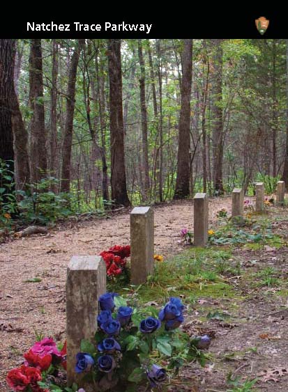
*269.4 Confederate Gravesites and Old Trace Short walk to graves of 13 unidentified Confederate soldiers.
*266.0 Parkway Visitor Center and Headquarters Information, exhibits, film, restrooms, bike-only campground, NST.
263.9 Old Town Overlook Views of Old Town Creek and its floodplain. NST.
*261.8 Chickasaw Village Site Exhibits on Chickasaw village that stood here. NST.
259.7 Tupelo National Battlefield The 1864 battlefield is a mile east on MS Hwy. 6 (Main St.).
251.9 Black Belt Overlook Named for a once-vast prairie with rich, black soil.
251.1 Chickasaw Council House Site of Pontatok, Chickasaw Nation capital in the 1820s. Picnic area.
249.6 Tockshish Site of stand and midway point on early-1800s National Post Road, where post riders transferred mailbags.
245.6 Monroe Mission Chickasaw people learned trades at the mission. Picnic area.
243.3 Hernando de Soto The Spanish explorer spent the 1540-41 winter nearby.
243.1 Davis Lake Access road to US Forest Service picnic and summer camping area.
241.4 Chickasaw Agency Agency for the Chickasaw was located here 1801-25.
233.2 Witch Dance Horse trail access, bike-only campground, picnic area, restrooms.
*232.4 Bynum Mounds Built between 2,050 and 1,800 years ago. Exhibits.
221.4 Old Trace Section of the original Trace.
213.3 Line Creek Historic boundary between Chickasaw and Choctaw lands.
203.5 Pigeon Roost Former roosting area for millions of passenger pigeons, now extinct. Folsom's stand stood nearby.
201.3 Ballard Creek Picnic area.
198.6 Old Trace Section of the original Trace.
*193.1 Jeff Busby Short drive or 20-minute walk to one of Mississippi's highest points, 603 feet. Picnic area, campground, restrooms.
180.7 French Camp Louis LeFleur's stand opened in 1812.
176.3 Bethel Mission Choctaw mission stood a half mile to the northwest. Picnic area.
175.6 Cole Creek Short trail through a water tupelo/bald-cypress swamp.
164.3 Hurricane Creek Short walk among plants found in different soil conditions.
160.0 Kosciusko Welcome Center Travel information for local area.
154.3 Holly Hill Picnic area. restrooms.
145.1 Myrick Creek Short trail.
140.0 Red Dog Road Named for a Choctaw chief, the road opened in 1834.
135.5 Robinson Road Historic road from Jackson to Columbus, MS. Picnic area.
130.9 Yockanookany NST.
128.4 Upper Choctaw Boundary Short trail. NST.
122.6 River Bend Picnic area, restrooms.
*122.0 Cypress Swamp Half-mile walk through water tupelo/cypress swamp. For NST, cross to west side of parkway.
107.9 West Florida Boundary The old boundary ran from the confluence of the Yazoo and Mississippi rivers to the Chattahoochee River. NST.
106.9 Boyd Site Burial mounds built between 750 to 1,250 years ago.
105.6 Reservoir Overlook Ross R. Barnett Reservoir on the Pearl River.
104.5 Old Trace and Brashears Stand Site The stand was advertised in 1806 as "a house of entertainment in the wilderness."
*102.4 Parkway Information Cabin Exhibits, restrooms, and access to multi-use trail.
100.7 Choctaw Agency Site of the liaison office between the US government and the Choctaw Nation, early 1800s.
93.1 Osburn Stand Site of Noble Osburn's stand, 1811 to early 1820s.
88.1 Cowles Mead Cemetery Cowles Mead owned a stand along the Old Trace and was acting territorial governor (1806).
78.3 Battle of Raymond Information on 1863 battle during the Vicksburg campaign.
73.5 Dean Stand Site Dates from 1820s-30s. Nearby is the site of Dillon's Plantation, May 1863 Vicksburg campaign headquarters for US generals Grant and Sherman.
61.0 Lower Choctaw Boundary Boundary between the Choctaw Nation and the Natchez District.
*54.8 Rocky Springs Short trail to historic town site. Camping, picnic area, restrooms. NST.
52.4 Owens Creek Waterfall NST.
45.7 Grindstone Ford/Mangum Mound The ford across Bayou Pierre marked the northern edge of "civilization" in the early 1800s. Vehicle height limit 11 ft., 6 in.
*41.5 Sunken Trace Short trail through deeply eroded section of the original Trace.
20.1 NST Trailhead Trailhead one mile east off MS Rte. 553.
18.4 Bullen Creek Short trail through hardwood-pine forest.
17.5 Coles Creek Picnic area, restrooms.
17.0 NST Trailhead Trailhead off Geohegan Rd. No RVs.
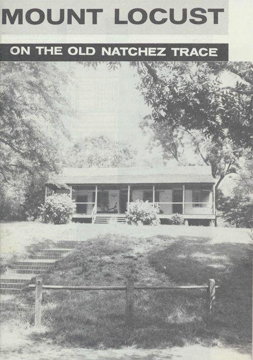
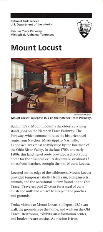
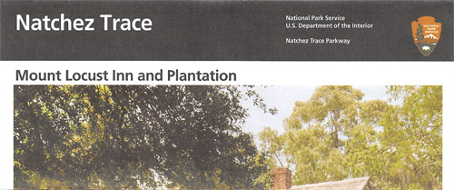
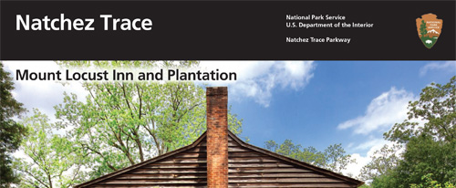
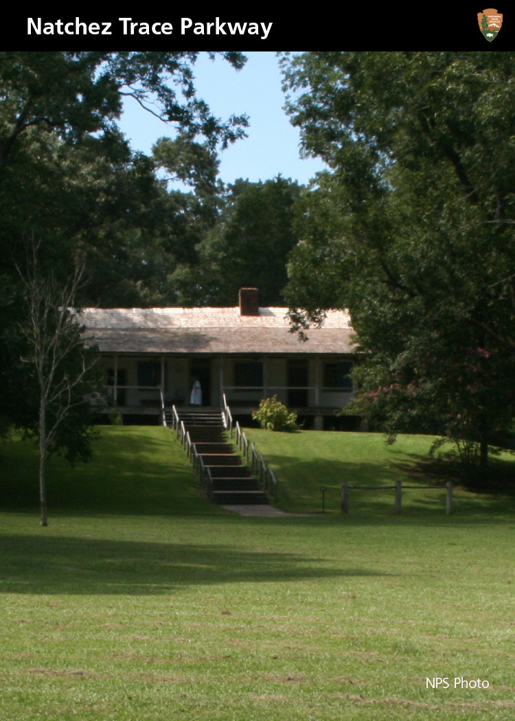
*15.5 Mount Locust Restored plantation and historic stand. House tours, exhibits, restrooms.
12.4 Loess Bluff Windblown soil (loess) was deposited here during the ice ages.
12.1 Turpin Creek Picnic area.
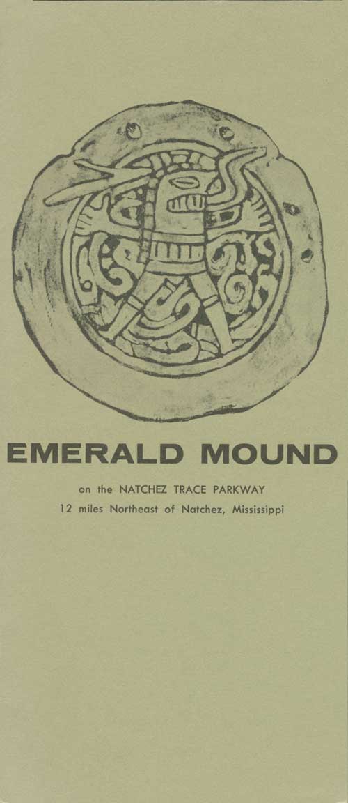
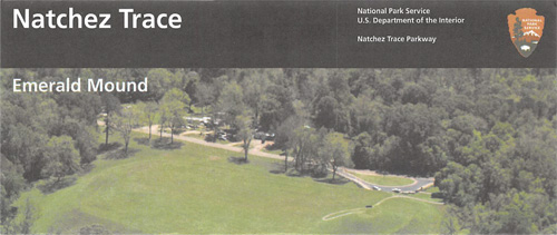
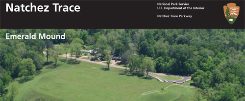
10.3 Emerald Mound Eight-acre ceremonial mound built between 1200 and 1730; now a national historic landmark.
8.7 Old Trace Exhibit Shelter
5.1 Elizabeth Female Academy Site Founded in 1818, first school for women chartered by the state of Mississippi.
MORE INFORMATION TO HELP YOU PLAN YOUR VISIT
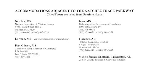
Accommodations and Services
There are no motels or gas stations on the parkway. Nearby communities
have lodging, restaurants, gas stations, medical care, and other
services.
Camping
All campgrounds are first-come, first-served. No reservations are
accepted. Camping is limited to 14 consecutive days and 30 days
park-wide per calendar year. Campgrounds have restrooms, but no hookups
or showers. Bike-only primitive campgrounds have tent sites, picnic
tables, and grills. For details about camping, check the park
website.
Accessibility
We strive to make our facilities, services, and programs accessible to
all. For information go to a visitor center, ask a ranger, call, or
check our website.
For a Safe Visit
• Obey posted speed limits. Watch for animals on the parkway.
• Avoid fatigue; stop often to refresh. • Special hauling
restrictions apply. Commercial vehicles and trucks over one-ton-rated
capacity are prohibited. • Hunting is prohibited. For firearms
regulations, check the park website. • Tent and trailer camping are
permitted only at designated campgrounds. • Build fires only in the
fire rings provided. • Fire ants can inflict painful bites; do not
disturb their mounds. • Do not touch poison ivy leaves, roots, or
vines. • Be alert for copperheads, cottonmouths, and rattlesnakes;
don't put your hands or feet in places you can't see. • Natchez
Trace Parkway is a designated bike route. Allow at least three feet when
passing cyclists. • All natural, historical, and archeological
objects are protected by federal law.
Source: NPS Brochure (2015)
|
Establishment
Ackia Battleground and Meriwether Lewis National Monuments — August 10, 1961 (added to Natchez Trace Parkway) |
For More Information Please Visit The  OFFICIAL NPS WEBSITE |
Brochures ◆ Site Bulletins ◆ Trading Cards


Documents
A Summary of Biological Inventory Data Collected at Natchez Trace Parkway: Vertebrate and Vascular Plant Inventories NPS Natural Resource Technical Report NPS/GULN/NRTR—2010/400 (November 2010)
Administrative History of Natchez Trace Parkway (undated)
Archaeological Survey of the Natchez Trace Parkway (John L. Cotter, extract from Southern Indian Studies, Vol. 1 No. 2, October 1949)
Bailey Farm News (c2003)
Cultural Landscapes Inventory: Meriwether Lewis, Natchez Trace Parkway (1998)
Cultural Landscapes Inventory: Mount Locust, Natchez Trace Parkway Draft (2021)
Cultural Landscapes Inventory: Shirley House, Natchez Trace Parkway Draft (2021)
Cultural Resource Survey for the Terrestrial Portions of the Reservoir Loop Project, Madison and Rankin Counties, Mississippi (Pritchett Engineering and Planning, LLC, November 21, 2011)
Environmental Assessment & Development Concept Plan for the Meriwether Lewis Site, Hohenwald, Tennessee (April 2002 )
Excavations at the Pharr Mounds and the Bear Creek Site, Natchez Trace Parkway (Charles F. Bohannon, July 1972)
Foundation Document, Natchez Trace Parkway, Mississippi-Alabama-Tennessee (October 2014)
Foundation Document Overview, Natchez Trace Parkway, Mississippi/Alabama/Tennessee (December 2014)
Furnishings Plan: Mount Locust, Natchez Trace Parkway, Mississippi (Worth Bailey, October 1956)
Historic Structure Report: John Gordon House, Natchez Trace Parkway (Joseph K. Opopermann-Architect, April 2012)
Historic Structure Report: Ridgeland Information Cabin, Natchez Trace Parkway, Ridgeland, Mississippi (Mills+Schnoering Architects, Simpson Gumpertz Heger, Inc. and William Gatlin, May 2021)
Junior Rangers, Natchez Trace Parkway (2009; for reference purposes only)
Junior Ranger Booklet, Natchez Trace Parkway (Date Unknown; for reference purposes only)
Mapping the Natchez Trace Parkway U.S. Geological Survey Open-File Report (Amina Rangoonwala, Terri Bannister and Elijah Ramsey III, 2011)
Milepost Log: Natchez Trace Parkway (2001)
Mount Locust Historic Structure Condition Assessment and Treatment and Work Recommendations (Raths, Raths & Johnson, Inc., March 2023)
National Register of Historic Places Nomination Forms
Buzzard Roost (No. 301-2C) (William E. Cox, October 7, 1974)
Elizabeth Female Academy (No. 101-3X) (William E. Cox, September 11, 1974)
John Gordon House (Ilene J. Cornwell, March 5, 1973)
Old Natchez Trace (No. 132-3T) (William E. Cox, September 9, 1974)
Old Natchez Trace (No. 170-30) (William E. Cox, September 9, 1974)
Old Natchez Trace (No. 230-3H) (William E. Cox, October 1, 1974)
Old Natchez Trace (No. 310-2A) (William E. Cox, October 1, 1974)
Old Natchez Trace and Choctaw Agency Site (Lenard E. Brown, May 17, 1994, September 1, 1994)
Robinson Road (Nos. 190-191-3M) (William E. Cox, October 1, 1974)
Bear Creek Mound and Village Site (W. Cox, October 1, 1974; Mark R. Barnes, rev. September 22, 1988)
Boyd Mounds Site (Wm. Cox, November 1974; Mark R. Barnes, rev. March 1989)
Bynum Mound and Village Site (William Cox, October 1, 1974; Mark R. Barnes, rev. March 10, 1989)
Emerald Mound Site (William Cox, 1974; Mark R. Barnes, rev. September 1988)
Mud Island Creek Complex (C. Hamilton, January 25, 1978; Mark R. Barnes, rev. March 29, 1989)
Napier Furnaces Historic District 40LS14 (Claudette Stager, October 1987)
Steele's Iron Works 40LS15 (Claudette Stager, November 1987)
Tupelo Homesteads (Jennifer D. Brown, December 17, 1996)
Natural Resource Condition Assessment for Natchez Trace Parkway NPS Natural Resource Report NPS/NATR/NRR-2014/843 (Gary Sundin, Luke Worsham, Nathan P. Nibbelink, Michael T. Mengak and Gary Grossman, September 2014)
Paving the Way: A Bibliography of the Modern Natchez Trace Parkway (Timothy Davis, Heather Fearnbach, Sara Amy Leach and Ashley Vaughn, 1999)
Public Law 87-131: To include Ackia Battleground National Monument, Mississippi, and Meriwether Lewis National Monument, Tennessee, in the Natchez Trace Parkway (August 10, 1961)
Recommendations for Mound Maintenance and Visitor Use and Access of the Natchez Trace Parkway Mounds Final Report (EDAW, Inc., June 2004)
Reptile & Amphibian Monitoring at Rocky Springs and Jeff Busby Sites on the Natchez Trace Parkway: Data Summary, Monitoring Year 2012 NPS Natural Resource Data Series NPS/GULN/NRDS—2013/558 (Robert L. Woodman, September 2013)
Reptile & Amphibian Monitoring at Rocky Springs and Jeff Busby Sites on the Natchez Trace Parkway: Data Summary, Monitoring Year 2013 NPS Natural Resource Data Series NPS/GULN/NRDS-2014/654 (Robert L. Woodman and William Finney, April 2014)
State of the Park Report, Natchez Trace Parkway (incl. Natchez Trace National Scenic Trail, Brices Cross Roads National Battlefield Site and Tupelo National Battlefield), Alabama-Mississippi-Tennessee State of the Park Series No. 31 (2016)
Vegetation Mapping Inventory Program: Natchez Trace Parkway Vegetation Mapping Project NPS Natural Resource Report NPS/GULN/NRR—2016/1255 (Kevin Hop, Andrew Strassman, Carl Nordman, Milo Pyne, Rickie White, Joe Jakusz, Erin Hoy and Jennifer Dieck, August 2016)
Changes in Latitude (NPS, Duration: 7:00)
Kaintucks on the Old Trace (NPS, Duration: 4:48)
Experiencing the Trace (NPS, Duration: 5:19)
Mount Locust: Yesterday, Today, and Tomorrow (Alcorn State University Students, Duration: 6:23)
Natchez Trace Parkway (Tennessee Crossroads, Episode 2334.1, Duration: 7:00)
Protecting What is Sacred (Micah Hart, Duration: 10:42)
Sacred Sites (NPS, Duration: 5:13)
The Last Days of Meriwether Lewis (NPS, Duration: 4:29)
Traditional Choctaw Dance (Mississippi Band of Choctaw Indians, Duration: 9:35)
Welcome to Mount Locust (Alcorn State University Students, Duration: 7:11)
Books

natr/index.htm
Last Updated: 13-Nov-2023